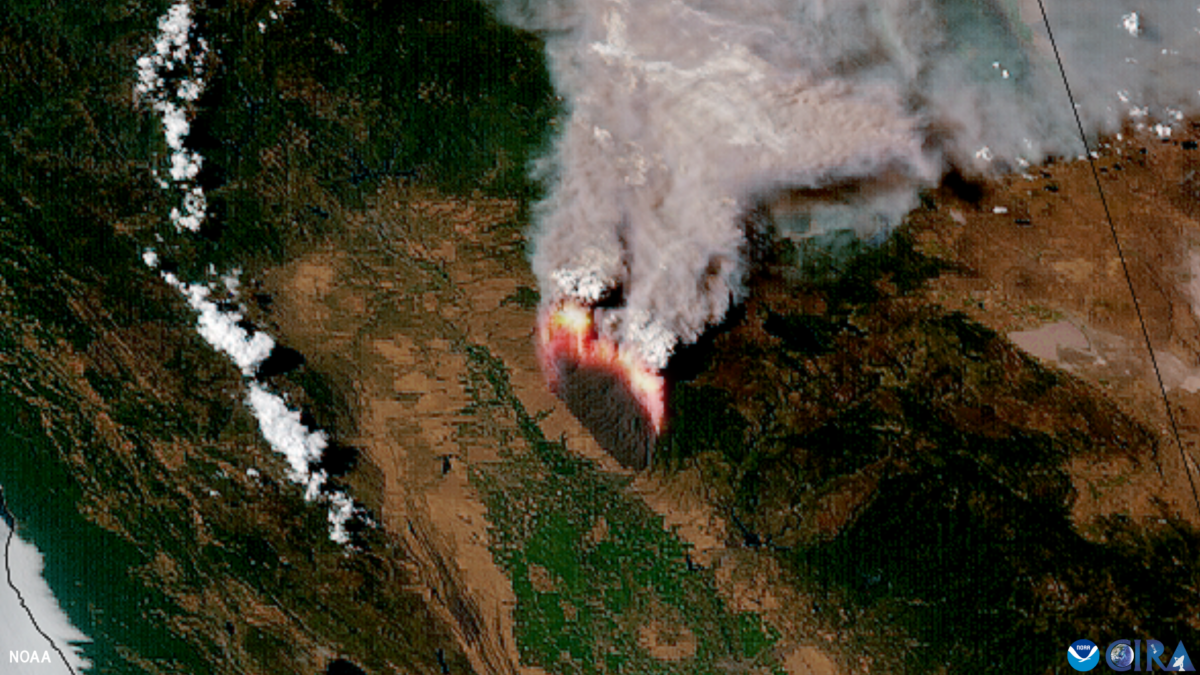
Excerpt: “Less than a year after being evaluated in NOAA’s Fire Weather Testbed, the automated satellite fire detection capability of the experimental Next Generation Fire System (NGFS) has been embraced by the firefighting community and is being increasingly integrated into operations across the country. The first of two key features of the revolutionary system are the Advanced Baseline Imager, the primary instrument on NOAA’s two GOES geostationary satellites orbiting 22,000 miles above the equator. The second is a set of NGFS algorithms that continuously comb through enormous volumes of data generated by the imager and automatically identifies heat anomalies or hot spots, even through clouds and smoke. Any new sources of heat are overlaid on surface imagery and geolocated. Then an alert is sent instantly to an online dashboard so users can easily visualize the location. Once a fire is detected, the system tracks and records the fire’s spread and intensity. The information is simultaneously available to weather forecasters, fire dispatchers and first responders. Getting firefighters on a fire before it becomes big increases the chances for a successful initial attack.”